Historic Ordnance Survey Wallpaper Maps
Create an eye catching feature of any wall at home or in the office with an Historic OS Wallpaper Map
SAVE 15% on your Wallpaper Map Mural - Use Code: HISTMAP15 at checkout
Six-Inch to the Mile (1:10,560)
Great for a detailed wallpaper map of your local area
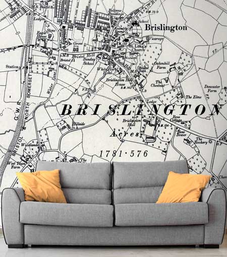
Order Your Six-Inch Scale Wallpaper Map
1888-1913 Ordnance Survey Mapping Data
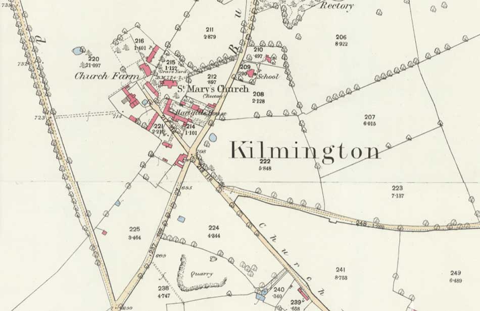
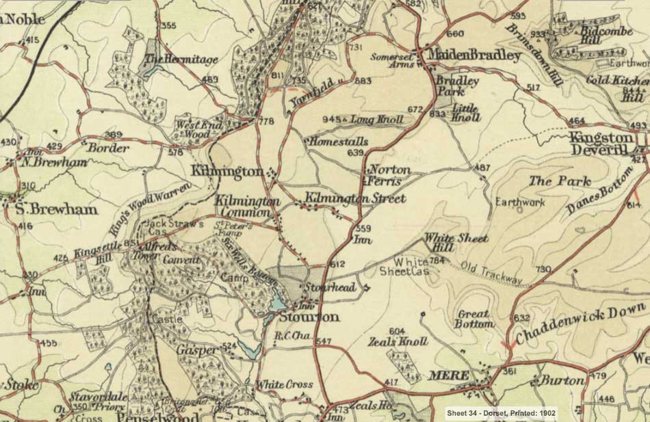
One-Inch to the Mile (1:63,360)
Great for a wallpaper map of your entire city or county

Order Your One-Inch Scale Wallpaper Map
1896-1911 Ordnance Survey Mapping Data
History of Ordnance Survey Mapping
The Ordnance Survey’s mapping begins in 1790 when the government, fearful of the threat of a French invasion, instructed the then Board of Ordnance to begin a national military survey starting with the south coast of England.
From the 1840s surveys were carried out at increasingly detailed scales and were used for many purposes including railway construction, geological survey and sanitary reform.
In order to ensure complete and accurate coverage, the 1841 Survey Act had already given surveyors the right to ‘enter into and upon any land’ in the course of their duties.
The Ordnance Survey Historic Maps captures Britain at the height of its imperial prosperity. All but the very largest cities still had clearly defined boundaries, but with little of the urban sprawl that has since overtaken so much of the landscape. The construction of over 16,000 miles of railway track had made its mark on the physical landscape.
The maps still clearly show many of Britain’s more ancient features and settlements, but these are now dominated by the new Victorian urban society which in many ways forms the basis of our own.

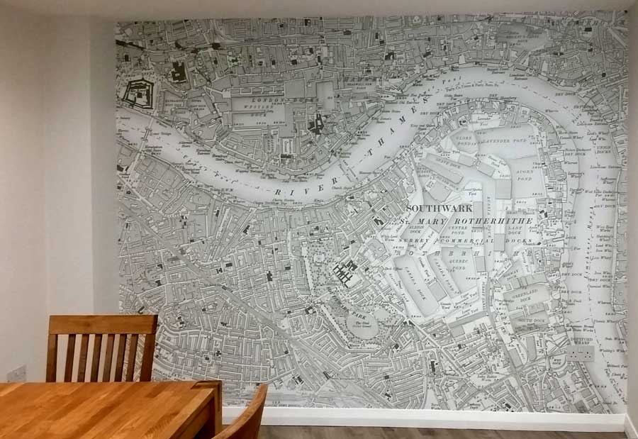
Wallpaper: Redcliffe Imaging | Courtesy: David Staunton
Thanks for all your help with ordering the wallpaper. We finally got around to putting it up over the weekend and it looks great. I've attached a picture so you can see the finished result!
Thanks again - David Staunton.
P.S. I also couldn’t resist looking at the online mapping for the area where I was brought up and became quite transfixed by how the area has changed over the years and picking out the landmarks that are still present!
Research Your Own Historic Wallpaper Map
The National Library of Scotland has a vast resource of Mapping Images, you can compare a selection of historic maps to modern map or satellite layers to see what might be available for your local area using the library Side by Side Viewer.
Gives us a call if you would like to discuss your custom printed historic wallpaper map, we'd love to hear from you.
- nls-OS-25-inch-1873-1888.jpg
Ordnance Survey 25 Inch from 1873 to 1888
- nls-OS-one-inch-1885-1903-hills.jpg
Ordnance Survey One Inch with Hills from 1885 to 1903
- nls-Bartholmew-half-inch-1897-1907.jpg
Bartholmew Half Inch from 1897 to 1907